

S&V Surveying, Inc.
HDS Laser Scanning
Home / HDS Laser Scanning
Send the Laser, Not the Man.
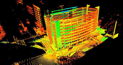
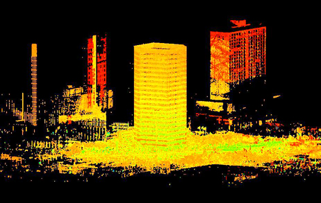
S&V is one of the few land surveying companies providing High-Definition Surveying (HDS) Laser Scanning.
With the advances in time and accuracy, HDS Laser Scanning is a cost-effective means of performing topographic surveys. By capturing detailed site information, revisits are minimized and project accuracy is maximized. Scanning is also unobtrusive to ongoing activities at the site.
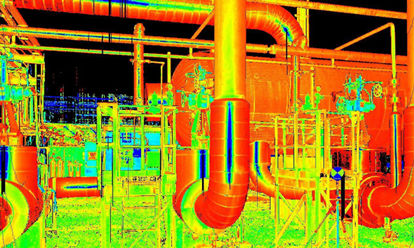
Laser Scanning technology is rapidly becoming an efficient method of design in the oil & gas industry due to its accuracy; significant overall project loss reduction, reduction in field time and increased safety. Since facilities can be scanned will still operating they are no longer faced with costly downtime.

S&V HDS Laser Scanning Projects
Harris County Toll Road Authority | Houston, TX
Sam Houston Tollway - Southeast Belt Widening
HDS Laser Scanning & Topographic Survey
Performed HDS Laser Scanning surveying services along the main lanes of the Southeast Belt widening for over ten (10) miles.
Beltway 8 Eastbound Exit Ramp to SH249
HDS Laser Scanning & Topographic Survey
Provided topographic mapping surveying services utilizing HDS Laser Scanning along the Sam Houston Beltway down the centerline of the mainlanes on the eastbound frontage road from the Beltway 8 Eastbound Exit Ramp to SH249 by utilizing Laser Scanning.
_______________________________________________________________
Houston Zoo | Houston, TX
West Gate Entry & Wombat Exhibit
Topographic Survey & HDS Laser Scanning
Provided control and a 25 foot by 25 foot topographic survey utilizing both conventional location and HDS Laser Scanning.
_______________________________________________________________
TXDOT | Houston, TX
US 59/IH 610 Direct Connector | CivilCorp
HDS Laser Scanning & Topographic Survey
Totaling 4,600 linear feet, utilized HDS Laser Scanning to collect surface data of the existing US 59/IH 10 interchange.
_______________________________________________________________
Harris County Precinct 4 | Houston, Texas
Stuebner-Airline/Louetta &
Stuebner-Airline/Cypresswood: Traffic Engineers
HDS Laser Scanning & Topographic Survey
Located existing roadways, Right-Of-Way lines, trees, railings, barriers, existing traffic signal equipment and provided control utilizing HDS Laser Scanning.
Spring Creek Greenway Phase Hike & Bike 4:
Crouch Environmental/LJA Engineering
HDS Laser Scanning
Provided a topographic survey of the area under the US 59 bridge utilizing HDS Laser Scanning.
_______________________________________________________________
Walter P. Moore | Industrial Buildings | Houston, TX
HDS Laser Scanning & Modeling
Performed HDS Laser Scanning and Modeling for the structural steel and rails of buildings. Located visible structural steel and rail features, provided a 3D CAD model of the structural steel and rails of the designated areas of the buildings.
_______________________________________________________________
BEI | INEOS Nova Plant | Pasadena, TX
Heat Exchanger Project
HDS Laser Scanning
Performed HDS Laser Scanning for the ground floor through the 3rd deck including the styrene cooler and settler. Provided basic modeling of key tie-in points of designated visible piping.
_______________________________________________________________
ProPlus | TPC Group | Houston, TX
HDS Laser Scanning & Modeling
Pro
_______________________________________________________________
The Waterway Development Company | The Woodlands, TX
Waterway Scan
HDS Laser Scanning
Utilized HDS Laser Scanning to scan the entire length of the The Waterway in The Woodlands, totaling 5,000 linear feet.

Applications
• 3D Scanning
• Asset Infrastructure Management
• Building Modifications, Renovations, and Expansions
• Final As-Builts
• Historical Structures Documentation
• Monitoring Building Deformations & Movement
• Topographic Survey
• Transportation Expansions
Deliverables
• 2D Plans
• 3D Models
• High-Resolution Digital Images
• Isometric Drawings
